I had expected a
long day, with over 20 miles to cover, but I had seriously underestimated
distances, and it proved much longer than I had thought.
My basic mistake
was to assume that, at Traquair, I was almost in Peebles. Not so: it’s about 7
miles by the most direct route – and, since (sensibly, given the traffic) I
decided to avoid walking along the B7062 by going past Traquair House and along
the Tweed, more like 9 miles.
 |
| Traquair House |
At least it was a
more pleasant walk. Traquair House itself is impressive; there’s then a nice
avenue down to a fishing hut on the banks of the Tweed ,
and a grassy track along the river. The only digressing sight was on the other
bank, where the emergency services were attending on overturned car on the road
from Innerleithen to Peebles. Not something one wishes to think too much about:
cars can be dangerous.
After crossing
the busy B 7062 at Howford into the woods, I failed to find the right tracks
through Cardrona Forest Tweed
Valley
 |
| Just enough room to creep past on the right hand side |
It was then back
across the B7062, and a stroll through the Kailzie estate (no charge for
walkers, despite it being a tourist attraction) beforfe havo9ng to take the
B7062 again for the final push into Peebles itself. At least there was a pavement
for the final stretch into town. Nevertheless, it was already well into the
afternoon before I finally reached the beginning of the John Buchan way,
another long distance path, which was my intended route for most of the rest of
the day’s walk.
The first stretch
is up across open moorland, and then around the flank of a large (but unnamed)
hill. This, in retrospect, was really annoying: it would have been easier to
have taken a more direct route to the point where one crosses the Manor Water.
Looking back, it appeared that there was a path, but nothing is marked on the
map, and no signs on the trail, and I am hesitant about taking risks across
high ground, even if the weather is non-threatening.
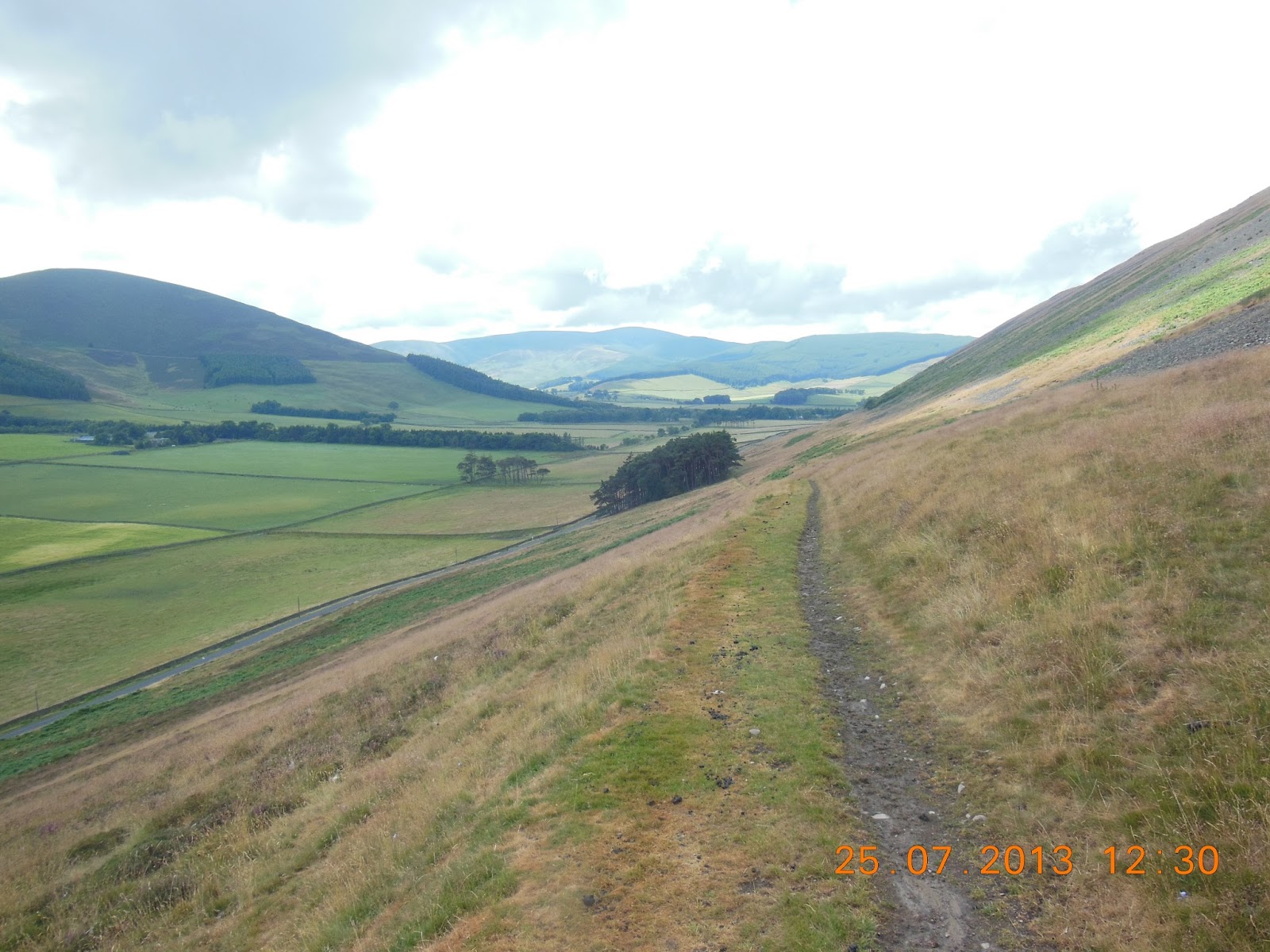 |
| The flank walk on the John Buchan Way |
It was nearly 3:00
by the time I reached the bridge over Manor Water, where I stopped for a short
lunch break. Then it was a further two miles (according to the signs) to reach
the Tweed again at Stobo. It felt more like
three: it was one of those stretches where one never actually seems to reach
one’s destination, but simply to walk along the same contour without actually
descending to the river.
The John Buchan Way
 |
| The Tweed again at Stobo |
So I elected the
quicker; shorter, less interesting road route to Broughton. The initial stretch
was along the fairly busy B712, but the major part of the route was on a very
minor road with (fortunately) very little traffic. I felt vaguely guilty about
missing out on the high route, and regretted the fact that I had started out
later that morning than I might have wished, but since it actually started to
rain I felt my decision was vindicated. Not that the rain lasted long, nor was
it heavy – but it might well have been less moderate on the heights. And I did
save an hour, reaching Broughton just before 6:00.
At Broughton it
was a quick walk down the main road to the dismantled railway track to Biggar.
It was now a fine evening, and I was able to make excellent, rapid progress
over the five miles. Here there is no scenery to celebrate: just flat fields
either side of the old railway and the canalised stream (Biggar Water) which it
follows, and gentle hills rising on either side. There are power cables
suspended from wooden poles along the whole route, so I found myself counting
the paces between the poles, working out how many poles there are per
kilometre, and carrying out other silly exercises all the way. Only on really
dull bits does one resort to such devices!
 |
| Not much further to go! A helpful distance indication on the old railway line from Broughton to Biggar |
The final stretch
into Biggar was across the local golf course. It was surprisingly extensive: I
think there must have been 36 holes rather than the standard 18, though I
didn’t investigate. Then it was the High Street, and the Elphinstone Hotel by
8:15. Just time for a quick shower before last orders for dinner – a well-deserved
(and surprisingly well presented) sirloin steak.
Once again, I
found myslef next to walkers – this time local residents, Ken and Heather. He
is a photographer and owns a gallery next door to the Hotel; she makes
jewellery. He walks whenever he can, and was very helpful in helping me plot
the route to New Lanark for the following day.
My technology had
failed me (insufficient battery life), so over dinner I worked out the distance
I had travelled. I knew it had been a long day, but the actual figure – 43.1km
– was a real surprise. No wonder I slept well that night.
Rain before breakfast, but clearing by the time I
left at about 10:00 (which proved to be rather later than I should have
started). Fairly bright for most of the day, though cloudier early afternoon –
though the threatened rain never materialised. 17 to 22C. 43.1km (by map measurement); max
altitude 303m; 578m of ascents; 525m descents. Partly grass or stony tracks (John Buchan Way


No comments:
Post a Comment