Following Ken’s
instructions, I made my way out of Biggar on the Lindsaylands Road
wood. All the same I managed to lose my way, and found myself
crossing the corner of a field overgrown with weeds before reaching more open
pastures. Here there was a large herd of heifers galloping around, and I was
concerned that they were interested in me rather than just out for exercise. No
need to worry, as it turned out – they galloped back the way they had come, and
were never closer than a couple of hundred metres. It seemed curious behaviour:
cattle seldom seem to do anything very fast, so I have no idea what got into
them.
 |
| The farm track above Lindsaylands |
After that it was
a minor rod all the way to Thankerton, skirting a hill with a prehistoric fort
on the right, with the infant River Clyde on the left. The map actually shows
continuous minor streams all the way from Biggar Water, which I had travelled
along the previous evening, and the Clyde .
It’s not clear where the watershed actually is, but it must be somewhere close
to Biggar itself. This is not a very conspicuous watershed, which after all
separates water that flows into the North Sea from that which flows out into
the Firth of Clyde and the Irish Sea .
 |
| Past the watershed - the Clyde at Thankerton |
Just before
Thankerton I crossed the Clyde, which at that point swing in s great loop to
the North before it swings South again to reach the Falls of Clyde Glasgow and London
When I reached Carmichael it became evident that the storms that had
been threatened had actually materialised. Thunder was only a mile away, and it
was obviously raining quite hard under dark grey clouds. However, my direction
seemed to be just outside the margin of the storm clouds, and I was still in
sunshine for the next three miles. Then, as I reached Douglas
Water, a
reasonably large tributary of the Clyde , my
luck ran out. So it was on with waterproofs as the first raindrops hit, only to
remove them when it seemed I was still outside the margin of the storm. No such
luck: the next cloud was directly overhead, and it started to rain quite
heavily, and that was how it was for the rest of the walk to New Lanark.
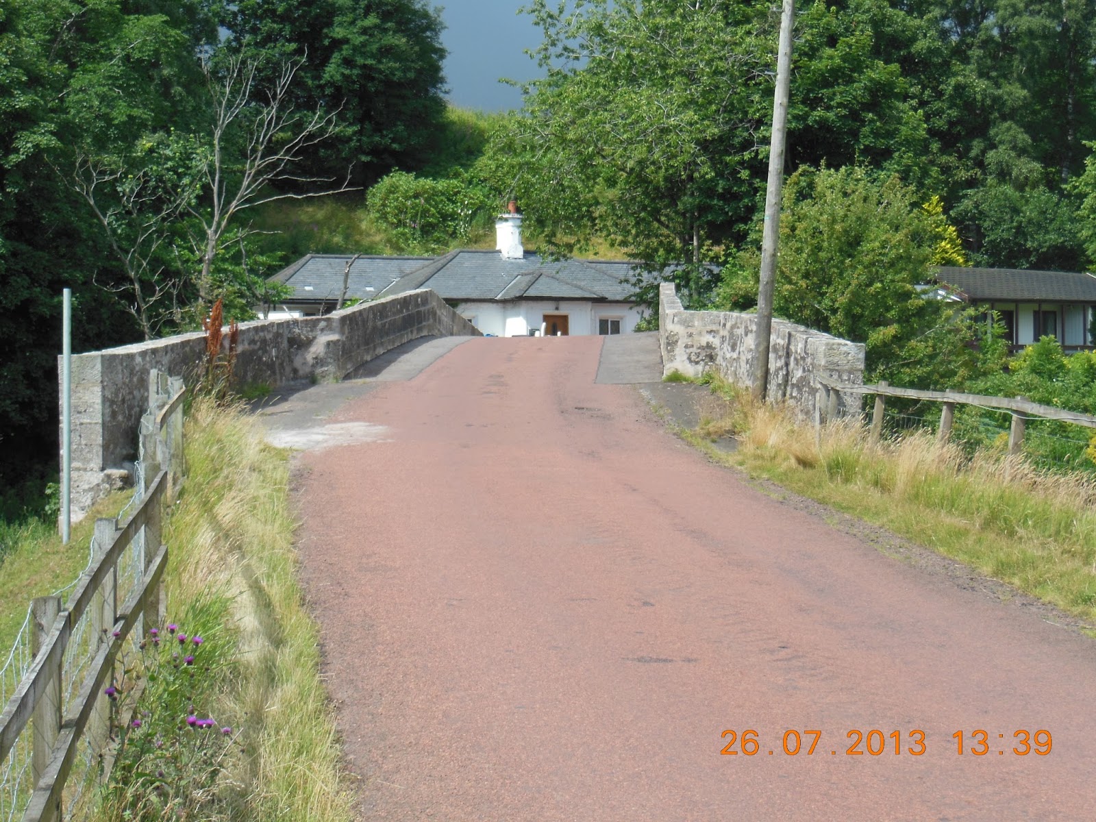 |
| The bridge over Douglas Water - just before the rains |
There were no
signs, so I took a chance on the first road that appeared to reach the Clyde
half a mile above the footbridge at the top of the Clyde
walkway. It was somewhat worrying to start, as this was the highest part of the
route, and quite open, and the thunder was close. However, it soon started to
descend to the river. There I discovered that, even though no track was marked
on the map, there was a perfectly good road going exactly where I wanted it to
go. I was to discover, over the next couple of days, that the OS Explorer
mapping of footpaths in this part of the Clyde
valley is woeful, and this was only the first of several places where the
mapping bore little resemblance to what was on the ground.
 |
| Some relatively modest falls ... |
Then it was the
weir at the top of the Clyde Gorge, where I crossed the river, and met the
first encouraging sign referring to the Clyde Walkway. The path then winds down
beside the river, undulating over bits where there are cliffs, but generally
going downhill. This is a spectacular walk, with the Falls of Clyde
 |
| ... and some more significant ones. The Clyde Gorge |
The power station
itself is almost at the bottom of the gorge. Below it there is a long stretch
of quiet water, almost lake-like, before the next weir. This was built as part
of the New Lanark development around 1780, and takes water into a tunnel which
carries the water needed to power the mills themselves.
After a mile and
a half I reached New Lanark itself. This is an impressive set of old mills, now
almost all fully refurbished. They stretch for several hundred metres along the
river, with a mill lade emerging from the tunnel to feed water down through the
individual mills. These no longer have working wheels, of course, but there is
a small hydroelectric plant that feeds the whole site. The drop between the
mill lade and the river below is little more than twenty metres, and it seems
astonishing that such a modest head of water can supply enough power to operate
the spinning machinery and other equipment on four or five floors of each mill
building. I had always thought that much greater falls were required to produce
any sensible amount of power, but in practice, both here and later in the
valley, quite modest drops are exploited for major power projects.
I reached the New
Lanark Hotel in Mill Number 1, at about 4:00 p.m. Just as I finished
registering Stuart and Elinor Goldsmith also arrived, which seemed an
extraordinary coincidence. Susan, however, was not so fortunate: her train from
Glasgow
But by 6:30 we
were all present and correct for my “rest day” on the Saturday and the next
section of the walk on the Sunday.
Rain threatened, but in practice it was largely
bright and warm until mid-afternoon, when the heavens opened and thunder and
lightning dominated. 17 to 21C. A lot of the day was on roads, though I managed
to avoid heavy traffic. 25.71km; maximum elevation 309m; 352m of ascents, 460m
of descents.
No comments:
Post a Comment