We
had been told by our hosts that red squirrels regularly visit their garden, and
that there could even be the occasional red
deer
 |
| Fortunately the new route was well signposted and well constructed, so navigation should not have been a problem - though we managed to lose our way anyway |
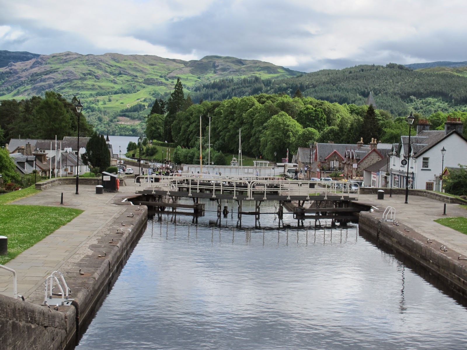
We
were also told about the major changes to the Great Glen Way
The
first stage out of the village was an uphill stretch on a minor road. The new
route struck off from the old at a car park half a mile on. Clearly a lot of
work had been put into the diversion. Part of it was on existing forestry
roads, but where none had existed before the Way was very well constructed with
gravel and ne bridges across the various streams.
It
was actually something of a pleasant change to be walking through reasonably
open country rather than through the dense woodland that characterises much of
the flanks of Loch Ness. There were good views to distant mountains to the
North and West, which tantalisingly seemed to be in sunshine while we were in
gloomier conditions, and as we climbed sometimes almost in the cloud itself.
 |
| Good use made of trimmings on the new route |
The
only minor disadvantage of the new route was hat it was much higher, so
involved a fair amount of climbing. Most of the route was above 250m, and the high point
 |
| And another picturesque use of trimmings on a new bridge |
About
half way along the new route we had to cross a stream called Allt Saigh, which
drains a large area of the hinterland above Loch Ness. This runs in a
steep-sided valley, and is crossed by a forestry track, which we then followed
for some distance before the path branched off into higher ground. Then it was
a long woodland walk to reach the point where we rejoined the original route of
the Great Glen Way
 |
| A windbreak on the new trail - a good spot for a few moments rest. Looking SW upLoch Ness. |
When
we had retraced our steps we found the marker we had missed first time around,
and after a brief refreshment stop were able to resume our walk in the right
direction. This was across an area of open ground, and then more rather gloomy
forestry for the best part of three miles.
 |
| And the view to the NE over Loch Ness |
The
final mile to our B&B was along main roads, fortunately provided with
pavements to avoid the traffic. There was a village green with a tea shop, so
we were able to reward ourselves before the final few yards.
 |
| Waiting for transport. Pulp or construction? |
Our
B&B, Kilmichael House, is noted for the three giant Wellingtonias in its
front garden. We wre booked in to what were described as “economy” rooms in the
annex, which were actually very acceptable. And made even more so by our
hostess providing us with tots of malt whisky as a welcome.
Dinner
that evening was at the local hotel. Like so many other places around the Loch it is monster themed, with a visitor attraction
alongside the hotel itself. It’s obviously a major tourist attraction, but at
least when we were there for dinner it was a coach-free day, and we had a very
pleasant dinner.
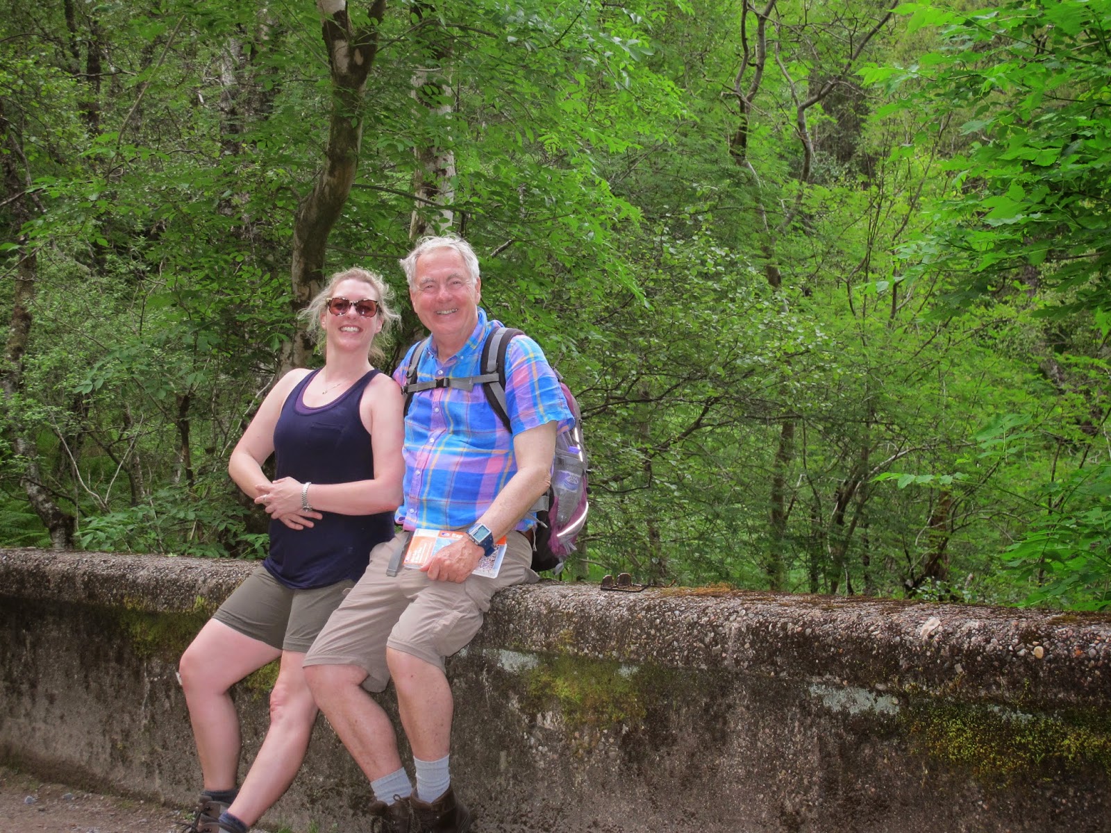
Alan
and Rosemary had proved excellent walking companions for the three days, and I
was delighted that they had been able to join me after having had to cancel the
two days they had intended to be with me earlier in the walk. I had been lucky
enough to have company every day between Glasgow
and Inverness , which is more than I had
managed to achieve on any other two weeks of the walk in previous years. Given
how far North I was now, and the distance most people would have to travel to
join me, this was much more than I had originally expected.
We
were up early for breakfast, after which Alan and Rosemary departed for the
lake district in the car which they had driven there three days earlier. For me
it was a taxi to Inverness station from which I took the early London
Cloudy with
occasional light rain; hardly a glimmer
of sunshine. 14-18C. Easy going on good tracks, much of which was the new route
to avoid an area of planned felling. Last four miles into Drumnadrochit on minor
road. Max altitude 432m, minimum 30m. 22.3 km, plus 2.4km when going wrong way
and retracing steps. 732m of ascents, 768m descents. Midge factor 1.