An inauspicious weather forecast – continuous heavy rain, and high winds. What a June! Fortunately the worst failed to materialise. It was raining only slightly as I set off, and never actually got very much worse.
 |
| The gate over the River Monnow at Monmouth |
For the next three days I would be on my own. Whether it was my description of two of them being arduous, or simply that everyone had better things to do, I shall never know. Anyway, the miles have to be walked, so I set off shortly after 9:00. No success in buying a poncho as a new top layer of waterproofing, so my only purchase was a bunch of bananas in the hope that they would prevent cramps after strenuous days.
Monmouth itself is an attractive town, with the older part between the Wye and the Monnow, which gives the town its name and which joins the Wye just below the town. There’s an arched gate on the bridge over the Monnow, which I had to cross as I left the town. The map was fine for the first part out of town, but I then managed to get lost in a housing estate before retracing my steps and – with some local guidance – finding my way back onto the Offa’s Dyke Path.
It’s across agricultural land, then up through woods, and down through more fields to the valley of the little River Trothy. It’s pleasant enough, rolling country, but not at its best in these dull conditions. Red kites were much in evidence; I hadn’t appreciated that they had wandered this far from their Welsh strongholds. After leaving the river, it’s a climb over more farmland, and a well-groomed cider orchard, before descending once again into the little village of Llantilly Crossenny
 |
| Evidence of the wind and rain over the last few days |
This was the low point of the day. It was only a couple of miles to White Castle
No was I done when I eventually found the ODP sign at the far end. There was yet another wheat field to cross, with even more cloying mud, so that by the time I had crossed it my boots must each have weighed a couple of pounds. And then, at last, there was relief – pasture. Some of it was being grazed, and other parts were uncut hay. So I was able, over the next mile or so, gradually to relieve myself of the mud attachments to my boots. And then there was a pleasant lane, gradually rising to the White Castle
 |
| The White Castle |
The rest of the stage was all grassland, but quite undulating. Towards the end it involved a long steady climb before finally reaching the top, and a long, gentle, boot-cleansing descent into Pandy. There I found my destination – the Lancaster Arms, a de-consecrated pub which the owners now use only as a B&B. They’re used to walkers, too, so there was a drying room. And the fact that they’re no longer a pub doesn’t mean one can’t get a drink and an evening meal. All very welcome – and a very comfortable room as well.
I only saw two groups of walkers all day. The first was half a dozen teenage boys, accompanies by an older man, and I assumed it was a Duke of Edinburgh Award expedition. The lads did not look very happy about it. The other was a group of three women, who it turned out later had stayed at the Lancaster Arms the previous night. They looked far more cheerful: the wind was behind them, and while it may have been pretty damp it was nothing like the downpour and headwind they had experienced the previous day as they crossed the Black Mountains .
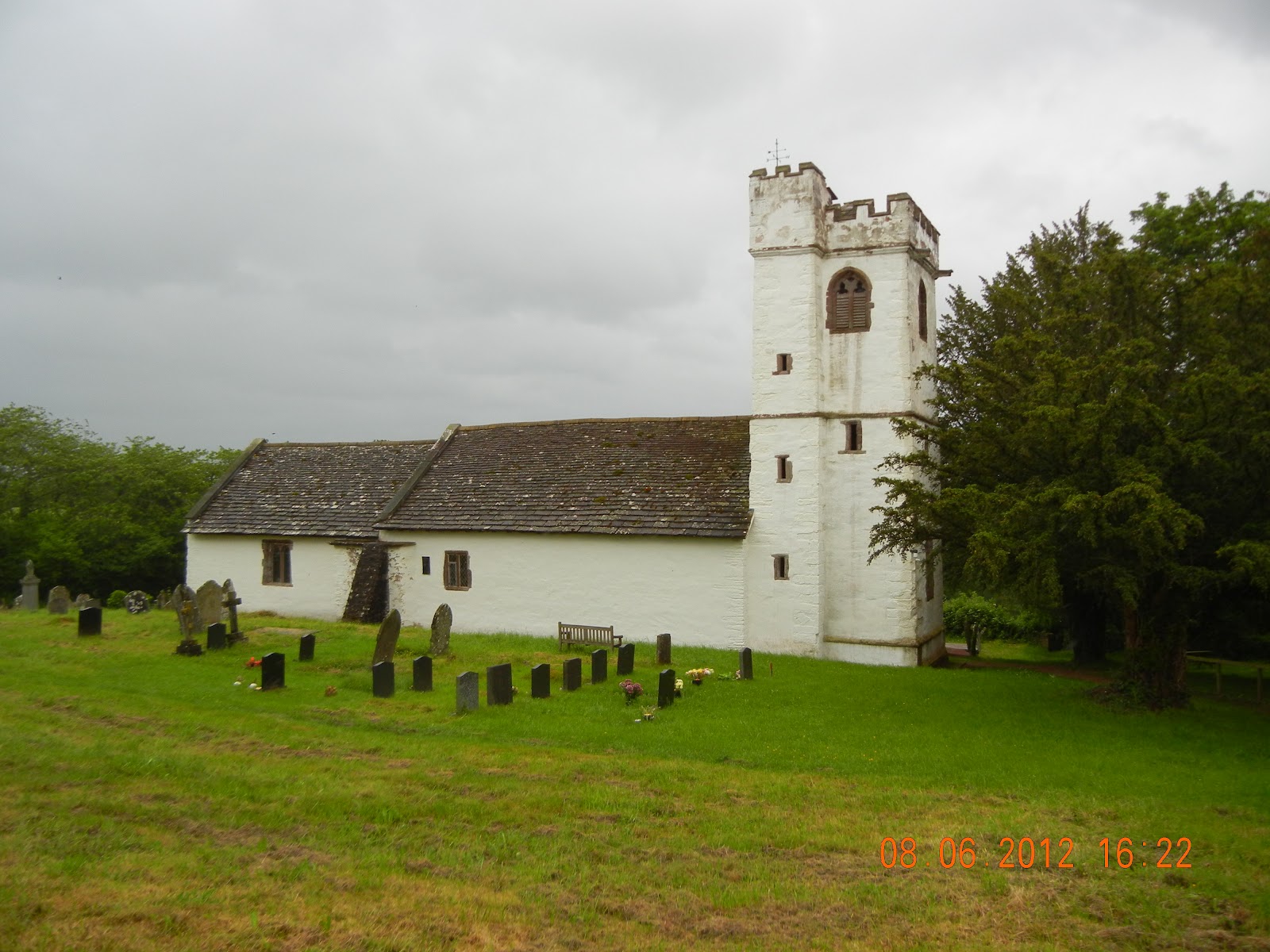 |
| The church at Llangattock Lingoed |
The ODP Guide describes this section as “quiet” and “descending gradually from the Black Mountains ”. Obviously I was travelling in the opposite direction so for me it should have been “gentle” and a “gradual climb to the Black Mountains ”. Both are inaccurate. There are several hundred metres of climbs and descents, and Monmouth is only 100m lower than Pandy. Apart from finding it very frustrating that it covers everything from North to South, with little accommodation for walkers going in the opposite direction, I find the guide seriously deficient in describing the terrain.
Light rain all day. (Nothing like Aberystwyth, which had 100mm of rain in 24 hours, with campers having to be rescued by helicopter.) Temperature estimated 12-16C. 29.0km, including morning mistake; 653m ascent, 568m descent. Offa’s Dyke Path followed religiously. Going occasionally very muddy. Moderate, but a long day.
No comments:
Post a Comment