Cramp in the night for the first time. I had failed to remember Jack’s prophylactic of the regular banana – though I’m not sure this really works. On the road by just after 10, having arranged for a taxi from Chepstow to transfer my luggage. Only half the price of Bristol
Bristol Parkway station anyway.
Bristol Parkway station anyway.
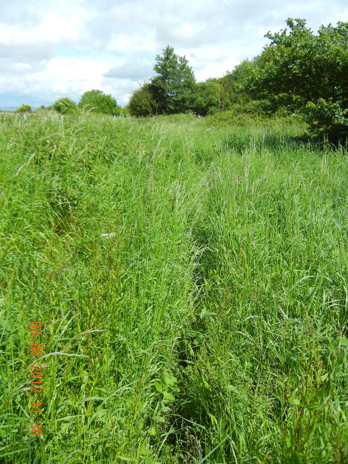 |
| Overgrwon - but at least someone had been there before me. |
The first part of the walk was through Bristol Bristol is fortunate in having lots of parks (at least in my direction) so I re-traversed part of the Downs and also went through the Blaise Castle Estate – very attractive, with high bluffs on either side of a stream. On the way I passed the entrance to Wills Hall, where Katie resided in her first year at Bristol University Bristol
This is another long-distance path that looks little-used and neglected. I was lucky that there was a walker just a couple of hundred metres ahead, who had blazed a trail through the long grass, nettles, bushes, and other waist-high vegetation. I got wet up to the thighs as a result – but fortunately dried out fairly rapidly afterwards. There was then a section where I took the main road (I afterwards realised that the path continued alongside it, but given the state of it I’m glad I didn’t go that way). And then I crossed into (South) Gloucestershire – my fourth English county. Was it for this reason that the
Severn Way suddenly improved? Probably, because it had actually been cleared in places, and was much better kept.
Severn Way suddenly improved? Probably, because it had actually been cleared in places, and was much better kept.
 |
| ... but some of the path was better |
The final two kilometres before the newer of the two Severn road bridges was past Severn Beach South Gloucestershire . There I caught up with the walker who had been ahead of me, who had stopped for lunch. He too was planning to go to Chepstow, and on up the Offa’s Dyke path – but doing the whole thing, all the way to Prestatyn, with only one two-day break in Welshpool, where he plans to tend his grandfather’s grave. He sounded rather jealous about the fact that I would be able to stop in Hay-on-Wye; he had tried to book months ago, but the Festival means that there was nothing to be had. His pace sounds faster than mine (Pandy to Hay in one day, rather than two) so I don’t imagine that I’ll bump into him again.
 |
| The newer of the two Severn Road Bridges - and rain to come |
The gathering clouds prompted me to put on waterproofs, which was just as well, because just as I passed under the bridge the heavens opened, and there was a heavy squall lasting the best part of half an hour. In retrospect, perhaps I should have taken a break: there could have been thunder and lightning, and I was exposed on the levée for most of the time it was raining. Fortunately it cleared fairly rapidly, and the rest of the day saw a steady improvement. The stretch between the two road bridges took much longer than the hour I had expected. It was obviously more than the 4km I had estimated. Most of it was on the levee, mostly fairly grassy, but occasionally rather muddy where the cattle had churned it up.
Then across the (old) road bridge – now the M48, not the M4. There are cycle tracks which double as footpaths on either side. It’s a good two miles, and took me nearly 40 minutes to cross. I timed it at 15 minutes just to get between the two piers of the main span across the Severn .
 |
| Still a mile or more before I can cross into Wales |
The final stretch was in Chepstow itself – and a good mile and a half of gradual climbing to reach the top of the old town. It’s genuinely medieval, with steep streets of attractive houses leading down to the River Wye. And there’s a splendid castle right in the middle of the town.
My only problem was finding my B&B – no obvious signage, and nothing that looked remotely like one. Having gone all down
Bridge Street to the river, eventually I had to phone. It involved retracing my steps back (up) into the town,
Bridge Street to the river, eventually I had to phone. It involved retracing my steps back (up) into the town,
Tiny bedroom (if I though last night’s was tight, I hadn’t seen this one), but a bath. And a splendid view of the castle, just metres away, from my bedroom window.
Fair to start and for most of the morning; a heavy squall lasting half an hour at lunch-time, ythen clearing, and a fine evening. Temperature estimated 14-19C. 30.69km; 215m
ascent, 275m descent. Mainly flat after Bristol , except for climbs to the Severn Bridge Severn Path very overgrown; rest largely on roads or hard surfaces. Moderate.
Map: http://www.mapmyrun.com/routes/view/100125245
Map: http://www.mapmyrun.com/routes/view/100125245
No comments:
Post a Comment