 |
| The Post Office at Kiltarity |
We were away from Woodlands Guest House early, and able to
check in to our rooms at the Ord House Hotel before our taxi picked us up to
drive back to Kiltarlity. We started our walk at about 11:15 – a lot earlier
than if we’d organised transport ourselves with cars at either end. And taxis
up here seem to be very reasonably priced.
The first part of the walk involved retracing the route
taken by the taxi, along the B road that skirts the Beaufort Castle estate and
crosses the River Beauly at Black Bridge. I remembered this exact point from 45
years ago, when Susan and I had visited the bridge and the power station above
it, and watched fishers below and salmon themselves being raised through a lift
within the power station dam.
 |
| The River Beauly at Black Bridge |
There were fishers here again today, and I spoke to a woman
who was carrying her rod back across the bridge, complaining about the
difficulty of casting with the current wind strength. No fish today, but the
previous day had produced a number. This is one of the very best (and most
expensive) beats of salmon fishing in all of Scotland.
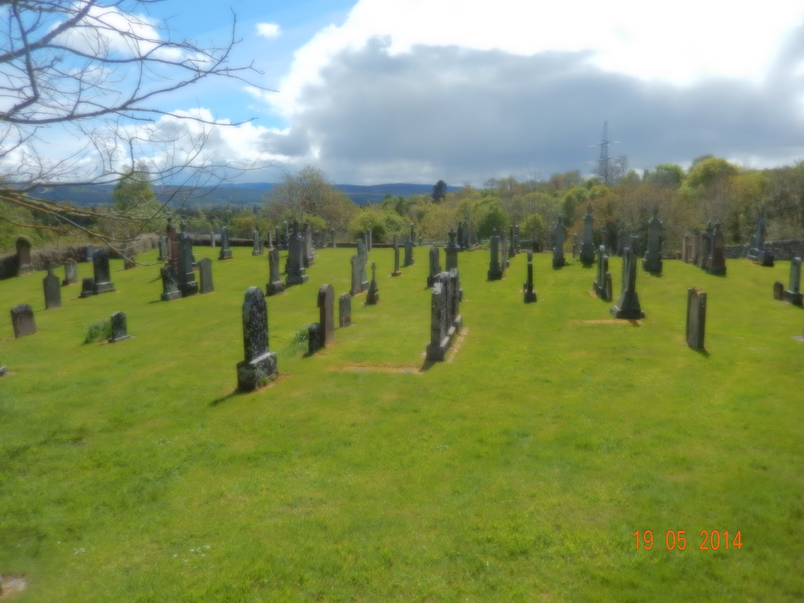 |
| Kilmorack Cemetary |
After crossing the river we went a few hundred yards up the
major road to Cannich, and then struck off to the North at Kilmorack. The next
part of the walk – and about two thirds of the total – was on minor roads
between Kilmorack and Muir of Ord, passing to the West of Beauly. This is a
strange area of tiny fields, typical of crofting country to which the tenants
were relocated during the Highland Clearances. But the buildings are mostly
modern – so the original crofts must have been replaced over the years, and the
whole area has been transformed from one of poverty to what feels like a middle
class enclave. There was building going on, and nearly everything looked very
smart and well maintained.
There is a series of largely parallel roads as you go up the
hillside, with the top road at the 170m level just below the forestry. Much of
this has now been felled, and up here it seems that they’ve actually grubbed
out the roots and levelled the ground, so presumably gentrification is
continuing. There are certainly splendid views across to the Beauly Firth and
the Black Isle.
 |
| The hills before Muir of Ord - with the Firth of Beauly in the distance |
We stopped for lunch at the high point of the road, where
someone had conveniently built a stone wall at the ideal height for sitting. At
least today’s lunch stop was dry. Then it was a winding road down to Muir of
Ord, past more evidence of gentrification – a field of Shetland ponies, someone
having new windows fitted, several smart new houses. This is a part of Scotland
I had never visited before. The coastal strip is flat and fertile, and the
towns almost join one another – Beauly, then Muir of Ord, and on the Conon
Bridge and Dingwall. The roads seem pretty busy, and there are industrial
estates and distilleries and all sorts of other businesses.
 |
| The ubiquitous gorse |
The final bit of the day’s walk involved going along roads
that were essentially three sides of a square. The fourth would have been
quicker, directly to the hotel, but it proved not to be as straightforward as I
had hoped. The wooded area marked on the map as Birch Wood was recently
clear-felled, and there was no obvious route across it.
We arrived back at a little before 3:30, with Alan and
Rosemary planning to visit the Ord distillery next door, and me to await
Susan’s arrival. That turned out to be later than anticipated, because Easyjet
had to eject a drunk from the flight before it could leave – so eventually it
had left Gatwick at the time it had originally been scheduled to arrive in Inverness.
No comments:
Post a Comment